You are here

Mapping and Visual Analytics - Liberia

Primary tabs

This working group is focused on discussions about mapping and visual analytics.

The mission of this working group is to focus on discussions about mapping and visual analytics.

Members

Carrielaj JSole Kathy Gilbeaux mdmcdonald MDMcDonald_me_com

Email address for group

mapping_liberia@m.resiliencesystem.org

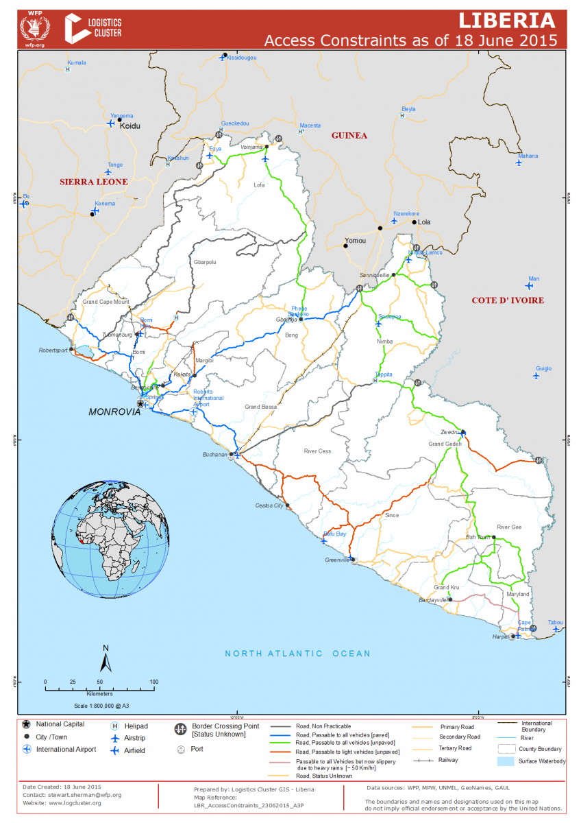
Liberia - Access Constraints Map - 18 June 2015

                                                       (CLICK ON MAP IMAGE TO ENLARGE)


reliefweb.int - Logistics Cluster - June 23, 2015

CLICK HERE - reliefweb - Liberia - Access Constraints Map - 18 June 2015

CLICK HERE - Logistics Cluster - Liberia - Access Constraints Map - 18 June 2015

Country / Region Tags: 
General Topic Tags: 
Problem, Solution, SitRep, or ?: 

Crowdsourced Mapping Could Help Prevent the Next Big Ebola Outbreak

TAKEPART.COM by Jessica Dollin                                                                     April 14, 2015

Ebola dominated headlines this past year, but the epicenter of the outbreak wasn’t on a map until after the virus had infected and killed thousands. Without geographical resources, aid workers were tasked with the challenge of navigating remote areas to locate people in need of assistance.

Problem, Solution, SitRep, or ?: 

CDC - Mapping for Ebola: A Collaborative Effort


cdc.gov - January 14, 2015

One of the difficulties faced by teams responding to the current Ebola outbreak in West Africa is identifying individuals and communities residing in remote areas. Existing maps of these regions either do not exist or are inadequate or outdated. This means that basic data like location of houses, buildings, villages, and roads are not easily accessible, and case finding and contact tracing can be extremely difficult.

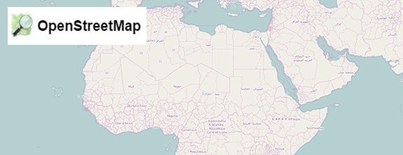
To help aid the outbreak response effort, volunteers from around the world are using an open-source online mapping platform called OpenStreetMap (OSM) to create detailed maps and map data of Guinea, Sierra Leone, Liberia, and parts of Mali.

(READ COMPLETE ARTICLE)

Country / Region Tags: 
Problem, Solution, SitRep, or ?: 

Ebola - Big Data

All,

For anyone interested, you should join the "Mapping and Visual Analytics - Liberia" group, as we will be sending these types of emails to that mailhandler . . .
http://liberia.resiliencesystem.org/mapping-and-visual-analytics-liberia

Hunting Down Ebola with Big Data
http://www.datanami.com/2014/11/03/hunting-ebola-big-data/

Ebola tracking system for Sierra Leone offered by IBM
http://www.bbc.com/news/technology-29744081?utm_content=buffer59976&utm_medium=social&utm_source=twitter.com&utm_campaign=buffer

Tracking Ebola with CrisisNET and the Ushahidi Platform
http://www.ushahidi.com/2014/11/04/tracking-ebola-crisisnet-ushahidi-platform/

Kathy

howdy folks